National Park Service

Shenandoah National Park

Blue Ridge scenic drive · overlooks · mountain ecology

Skyline Drive turns the Blue Ridge crest into a long-form vehicle journey through overlooks, trailheads, campgrounds and changing mountain ecosystems.

⌖

GPS38.518° N
78.437° W

$

Estimated 2-Night Spend$200–$725

✓ Source verified · Pending
Image: National Park Service
⌖

Overview

VA

Drive 105 miles along the crest of the Blue Ridge on a road conceived from the start as Shenandoah’s defining automobile experience. Skyline Drive combines sweeping overlooks with one of the National Park Service’s landmark early scenic-road projects, shaped by Depression-era relief work and the Civilian Conservation Corps.

AgencyNational Park Service
Access modelFull-Spectrum Core
Remote campingStrong Remote Option
Checking destination weather…
⌂

Camping Snapshot

Big Meadows, Loft Mountain, Mathews Arm and Lewis Mountain developed campgrounds along Skyline Drive.

Big Meadows + other Skyline Drive campgrounds | developed NPS camping | RV/trailer sites available | seasonal potable water and dump service at selected campgrounds | no utility hookups at Big Meadows | check site fit, openings and availability.

Reservation
Big Meadows is reservation-only; Mathews Arm and Loft Mountain combine reservable and first-come inventory; Lewis Mountain is first-come. Exact site fit should be confirmed before arrival.
Water
Seasonal potable water at developed campgrounds.
Dump
Dump stations are available seasonally at developed campgrounds including Big Meadows.
Restrooms
Flush/vault facilities vary by developed area; campground restrooms are seasonal.
$

Trip Cost

2 nights / 3 days
Solo$200–$400
Couple$300–$525
Family of 4$450–$725
Planning band, not a quote. Live fees and availability can change.
▣

Vehicle Access

Big Meadows / central Skyline Drive core

Scenic park road / developed area · Paved

Van SuitableTruck Camper SuitableClass C ConditionalOverland ConditionalClass A ConditionalTravel Trailer Conditional

Use Big Meadows as the universal central core. Taller rigs should approach from Swift Run Gap or Rockfish Gap rather than crossing Marys Rock Tunnel. Vehicle fit at individual campground/overlook spaces remains site-specific.

Current-condition note: Skyline Drive may close temporarily for snow, ice, high winds, wildfire, storm damage or other hazards; current road status should be confirmed before arrival.

Marys Rock Tunnel / northern Skyline Drive segment

Scenic park road / tunnel · Paved

Van SuitableTruck Camper SuitableClass C ConditionalOverland ConditionalClass A ConditionalTravel Trailer Conditional

Optional through-route for rigs under the verified 12 ft 8 in tunnel clearance. Taller rigs can still visit Shenandoah by using the southern or central entrances and avoiding the tunnel.

Current-condition note: Temporary weather closures can occur.

▤

Nearby Resources

Quick planning essentials
Dump Station

Big Meadows Campground dump station

0.5 mi · At core

NPS lists a seasonal dump station at Big Meadows Campground. Operation is seasonal and should remain current.

Driving Directions ↗
Groceries

Big Meadows Wayside / Luray

0.5 mi · At core / W gateway

Seasonal groceries/camping supplies are available at Big Meadows; full resupply in gateway towns.

Driving Directions ↗
Fuel: Gasoline + Diesel

Big Meadows Gas Station / Wayside

0.5 mi · At Big Meadows core

NPS identifies Big Meadows as the only in-park fuel station and lists unleaded and diesel. Current NPS page also says the pumps are closed for upgrades until further notice, so printed availability must be treated as current rather than assumed operational. NPS lists diesel at Big Meadows, but the current station page says pumps are closed for upgrades until further notice. Fuel before entering the park and confirm the station has reopened before relying on in-park diesel.

Driving Directions ↗
Laundromat

Big Meadows Campstore laundry

0.5 mi · At core

NPS and the concessionaire list seasonal laundry at Big Meadows Campground/Campstore. Exact seasonal dates and temporary service interruptions belong with the current source.

Driving Directions ↗
Potable Water

Big Meadows Campground potable water

0.5 mi · At core

NPS lists potable water seasonally at Big Meadows Campground. Seasonal service status belongs in live planning.

Driving Directions ↗
Repair/Parts

Luray / Elkton service corridor

20 mi · W / SW of Big Meadows

Use live data for current towing, tire and repair providers; mountain access can add travel time.

Driving Directions ↗
Hospital

Page Memorial Hospital, Luray

22 mi · W of Big Meadows

Hospital-level emergency care in Luray; exact routing from Skyline Drive depends on the open entrance and current road conditions.

Driving Directions ↗
⌖

See Nearby

Local culture & context
High-elevation meadow / wildlife

Big Meadows

Open meadow landscape at Big Meadows in Shenandoah National Park
Image: Frypie / CC BY-SA 4.0

0 mi · At anchor · 45–90 min · Check current cost

Distinctive high-elevation meadow and National Historic Landmark landscape with wildlife, wildflowers and night-sky viewing near the park's central developed area.

Waterfall / hike

Dark Hollow Falls

Dark Hollow Falls cascading through forest in Shenandoah National Park
Image: National Park Service / Public Domain

1 mi · Near Big Meadows · 1.5–2 hr · Check current cost

Popular short but steep hike from the Big Meadows area to one of Shenandoah's most accessible signature waterfalls.

Scenic overlook / short hike

Skyland / Stony Man area

Stony Man Mountain in Shenandoah National Park
Image: NPS / Neal Lewis / Public Domain

10 mi · N on Skyline Drive · 1–2 hr · Check current cost

High-elevation developed area and trail access with broad Blue Ridge views north of Big Meadows.

Mountain summit / panoramic hike

Hawksbill Summit

View from Hawksbill Summit in Shenandoah National Park
Image: Shenandoah National Park / N. Lewis / Public Domain

Central District / Skyline Drive mile 45.5 · 1–2 hr · Included with park entry

A short, steep hike to Shenandoah’s highest peak and a 360-degree viewing platform over the Shenandoah Valley, Blue Ridge and Virginia Piedmont.

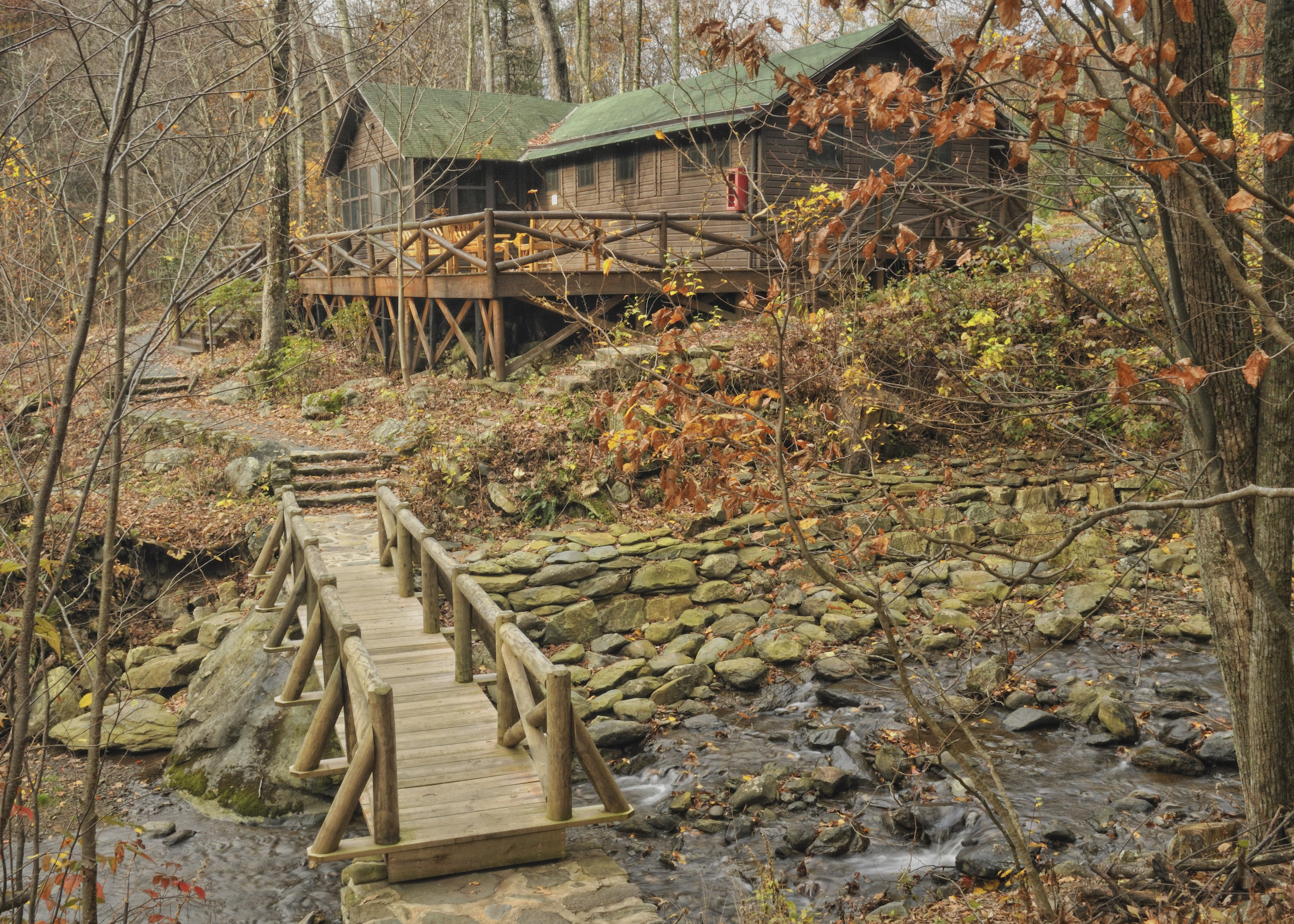
Historic Rapidan Camp in Shenandoah National Park
Image: National Park Service / Public Domain

WORTH THE DETOUR

Rapidan Camp

President Herbert Hoover's mountain retreat, interpreted on seasonal ranger-led van tours from Byrd Visitor Center.

4 mi · Tour departs from Byrd Visitor Center · 2.5 hr

Driving Directions ↗

A strong history detour that adds human context to an otherwise landscape-heavy Shenandoah visit. · nps.gov · Current details checked 2026-09-23.

Accuracy note: This digital guide shows the best verified information currently available. Categories without reliable source data may be omitted. Conditions, access, services, and supporting details are continuously reviewed and updated as better information becomes available.

✎

Share Field Info

Help keep the guide current

Recent firsthand information enters a moderation queue and never overwrites verified publication data automatically.